Geographic Information Systems
Burnside has been providing Geographic Information Systems (GIS) solutions to our clients for over 20 years. We pride ourselves in providing high quality software products, mapping, technical service, and software support to our clients.
Capabilities and Expertise
Our GIS specialists have worked on a variety of project types over the years, including asset management plans, municipal planning studies, environmental assessments, road needs studies, and hydrogeologic studies. Our team members are highly experienced in cartography, data management, database management, GPS data collection, software development, spatial analysis, and GIS implementation.
We are an ESRI Silver partner and have not only received prestigious ESRI awards but have also received the ESRI Cornerstone award for being an ESRI partner for 20 years.
Our Team
Please reach out to our team to discuss your GIS application! Our team is led by Arunas Kalinauskas and Matthew Dickie.
Our Projects
Key projects that have leveraged our GIS services:
- Kincardine floodplain mapping
- Ontario groundwater protection studies
- Town of Shelburne underground infrastructure data collection
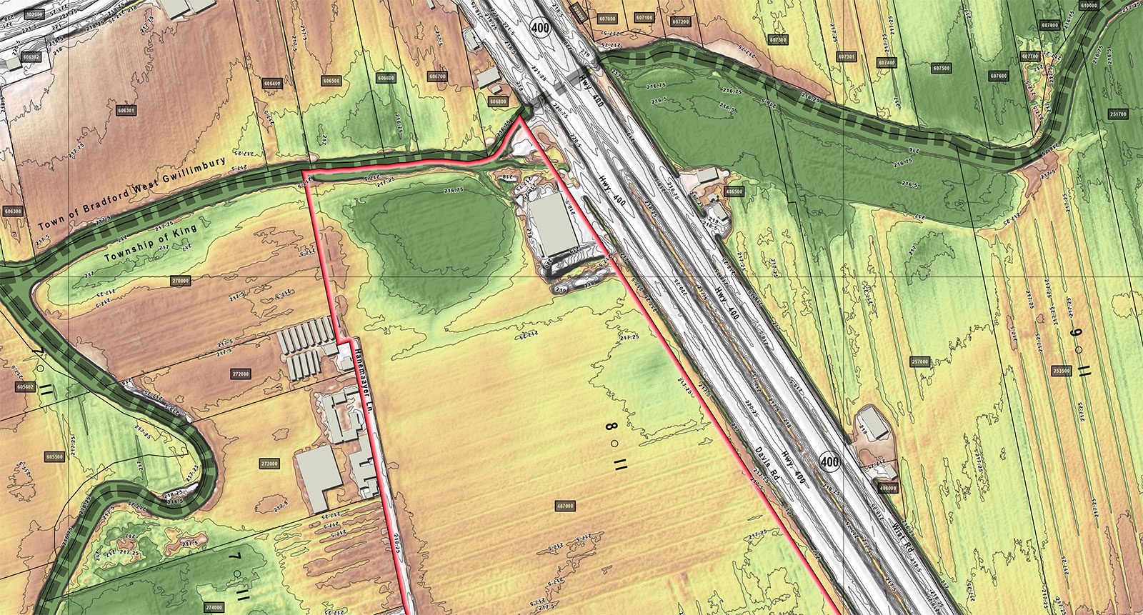
- Bradford West Gwillimbury stormwater inventory
- Spatial data collection
- Spatial data integration
- GIS mapping
- Data conversion
- Database development
- GIS needs assessment
- Project management
- Software development

Matthew Dickie
Service Contact
We encourage you to contact us if you have any questions or require assistance.